
Geographic Information Systems (GIS)
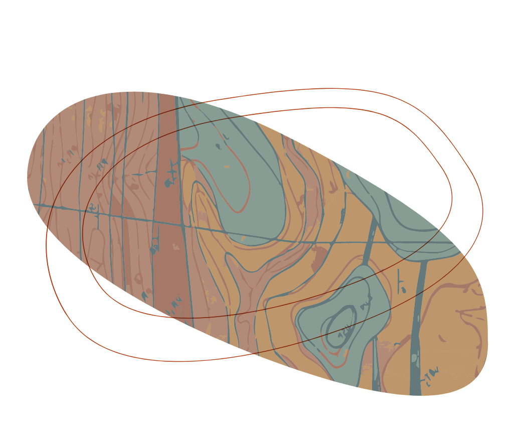
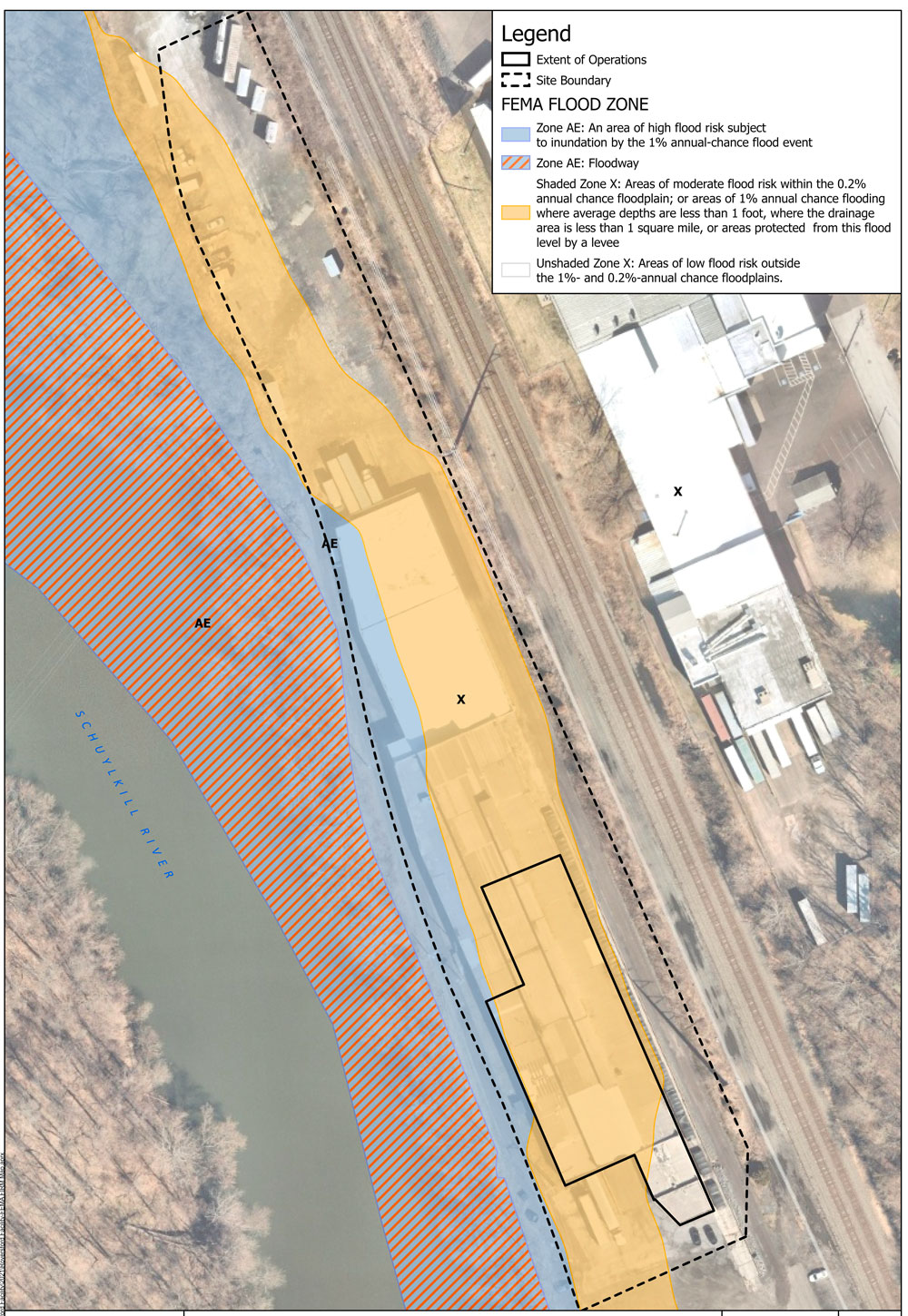
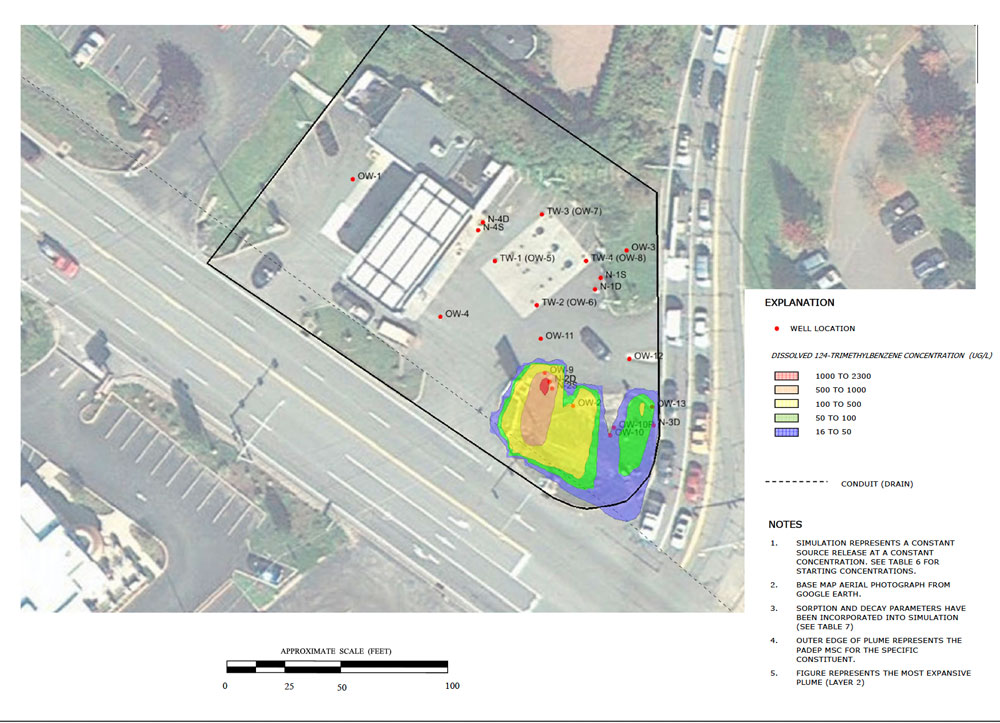
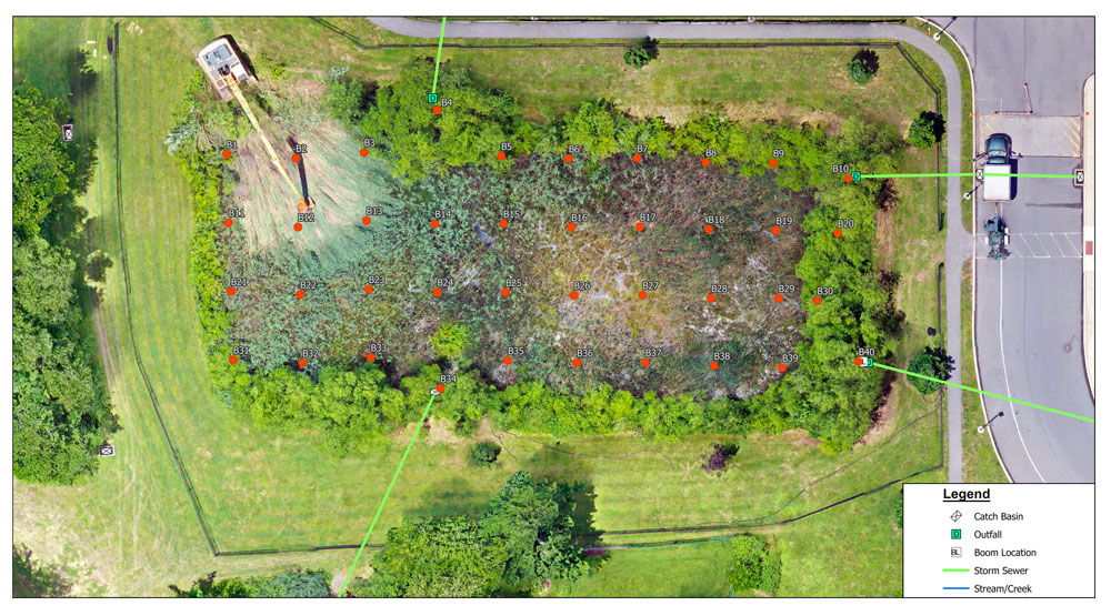
Using multiple technologies and an array of data sources—from GPS data and LiDAR surveys to paper maps—Aquaterra provides the GIS mapping solutions and support you need for comprehensive project planning, approvals and management.
Follow us
_________
We Proudly Support
_________




Contact Us
Aquaterra Technologies, Inc.
901 South Bolmar Street
Suite 1A
West Chester, PA 19382
610-431-5733
610-431-5734
Registered Contractor With


© 2024 AQUATERRA TECHNOLOGIES INC. | SITE BY SMITHWORKS
... See MoreSee Less
0 CommentsComment on Facebook
Talking PPE at our latest safety training! ... See MoreSee Less
0 CommentsComment on Facebook
Safety first, quality always. One of our scientists, Joe, recently completed the installation of multiple deep wells in excess of 100 feet for an Aquaterra client. ... See MoreSee Less
0 CommentsComment on Facebook
... See MoreSee Less
0 CommentsComment on Facebook
... See MoreSee Less
0 CommentsComment on Facebook
Water Supply Success! Aquaterra increased water availability in a public water supply well in north New Jersey by 37% by hydrofracturing a bedrock aquifer. ... See MoreSee Less
0 CommentsComment on Facebook
... See MoreSee Less
0 CommentsComment on Facebook
Safety Training Day at Aquaterra! Respiratory Protection was one of many important topics covered during this session. ... See MoreSee Less
0 CommentsComment on Facebook
... See MoreSee Less
0 CommentsComment on Facebook